The historical map room

Read the map’s date and maker.

These documents include Indigenous knowledge, colonial cartography and government surveys. Their names, classifications and boundaries reflect particular times and purposes. They do not establish present Indigenous territories. A surviving copy is identified as a copy. Date filters follow the catalogue’s publication or copy date; an earlier design is explained in the record.

19 maps

More maps from the archives

[1755?] · Indigenous knowledge / mediated copy

Monongahela battlefield sketch

View archive ↗

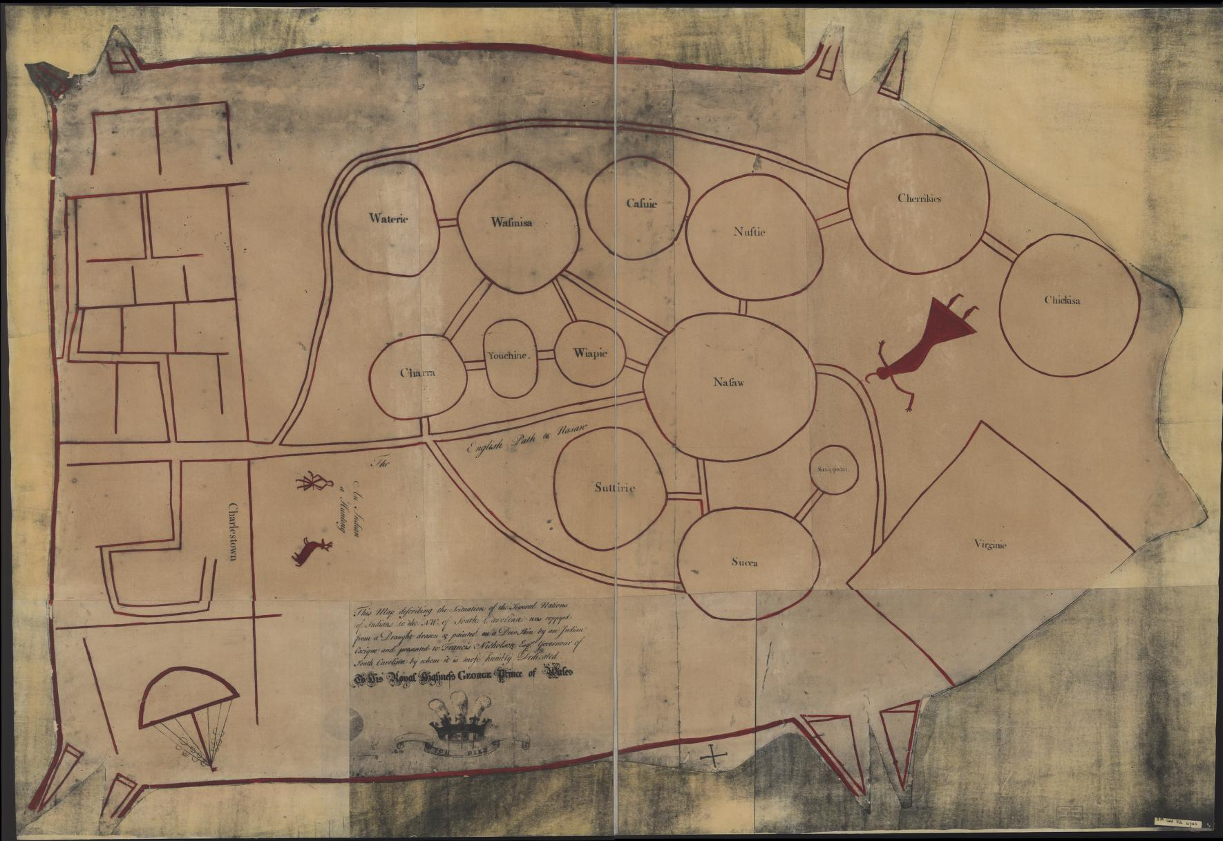
This battlefield sketch credits Indigenous direction, while the catalog associates it with John Montrésor. That wording exposes a history of mediation and copying. It offers a focused example of Indigenous geographic knowledge entering a colonial military record, with its maker unnamed.

Map context, credits & related profiles

This battlefield sketch credits Indigenous direction, while the catalog associates it with John Montrésor. That wording exposes a history of mediation and copying. It offers a focused example of Indigenous geographic knowledge entering a colonial military record, with its maker unnamed.

Collection: Library of Congress.

Credit: Library of Congress, Geography and Map Division..

Rights: Reuse permitted unless an item-specific Rights Advisory states otherwise. No preview reproduced here. Rights record ↗

Dating & copying: Retain the catalog's uncertainty.

Inspection: Read the full indexed archive record and the archive guide; direct item access was blocked. Map image not viewed. Retain the catalog's uncertainty. Reviewed 2026-10-21.

Individual profile connections are still being reviewed.
London, 1777 · Colonial cartography

Canada and neighboring borderlands, 1777

View archive ↗

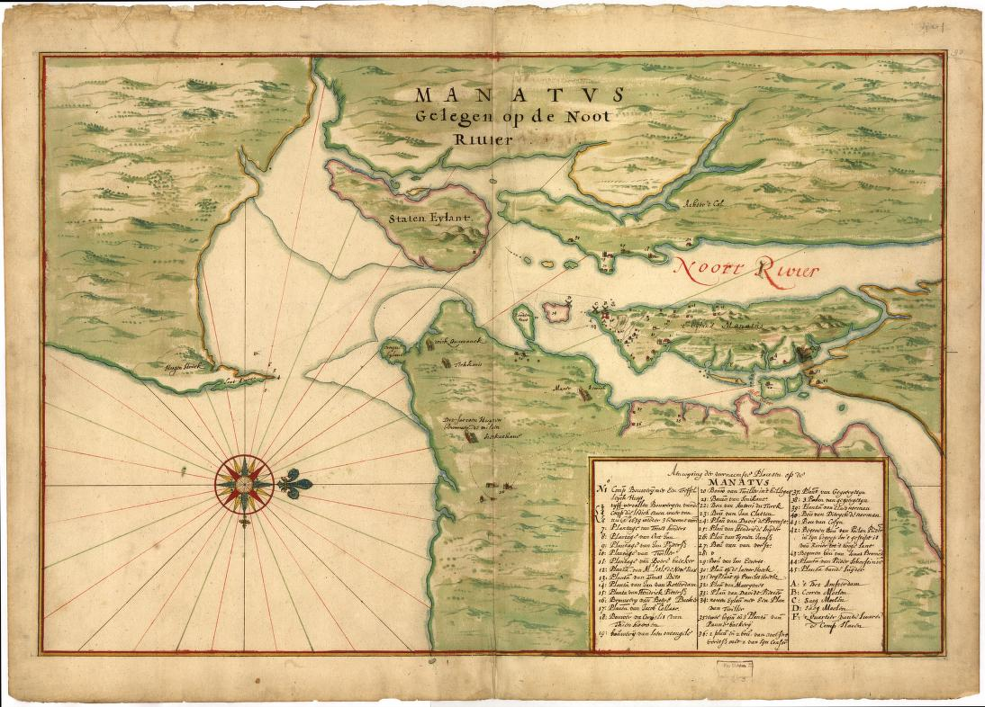
A British colonial map of southern Quebec and neighboring borderlands, compiled from French surveys. Its military and commercial framing offers evidence about colonial priorities and representations of Indigenous people. Read it as a historical viewpoint, without treating it as present territorial authority.

Map context, credits & related profiles

A British colonial map of southern Quebec and neighboring borderlands, compiled from French surveys. Its military and commercial framing offers evidence about colonial priorities and representations of Indigenous people. Read it as a historical viewpoint, without treating it as present territorial authority.

Collection: Library of Congress.

Credit: Library of Congress, Geography and Map Division..

Rights: Reuse permitted unless an item-specific Rights Advisory states otherwise. No preview reproduced here. Rights record ↗

Dating & copying: Guide thumbnail corresponds to digital copy ar015201.

Inspection: Read the full indexed archive record and the archive guide; direct item access was blocked. Map image not viewed. Guide thumbnail corresponds to digital copy ar015201. Reviewed 2026-10-21.

Individual profile connections are still being reviewed.
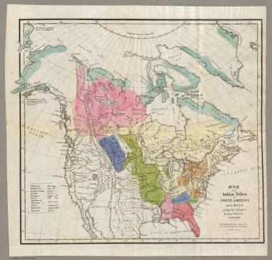
1891 · Federal survey / administration

Linguistic Stocks of American Indians North of Mexico.

View archive ↗

Powell grouped North American Indigenous languages into the linguistic stocks used by nineteenth-century federal ethnology. Read this as a historical classification project, including its names and large colored areas, alongside language and community accounts. These areas do not establish present boundaries.

Map context, credits & related profiles

Powell grouped North American Indigenous languages into the linguistic stocks used by nineteenth-century federal ethnology. Read this as a historical classification project, including its names and large colored areas, alongside language and community accounts. These areas do not establish present boundaries.

Collection: University of Texas at Arlington Library / UNT Libraries, The Portal to Texas History.

Credit: University of Texas at Arlington Library / UNT Libraries, The Portal to Texas History..

Rights: The Portal permits linking and makes the item available for research, teaching and private study. It states that this digital object’s copyright status has not been determined. No image is reproduced here. Rights record ↗

Inspection: Read the actual item metadata and item-specific Citations, Rights, Re-Use page on October 22. Prior IIIF manifest review is retained. No successful map image inspection; no individual-profile association inferred from the broad language-group description. Reviewed 2026-10-22.

Individual profile connections are still being reviewed.
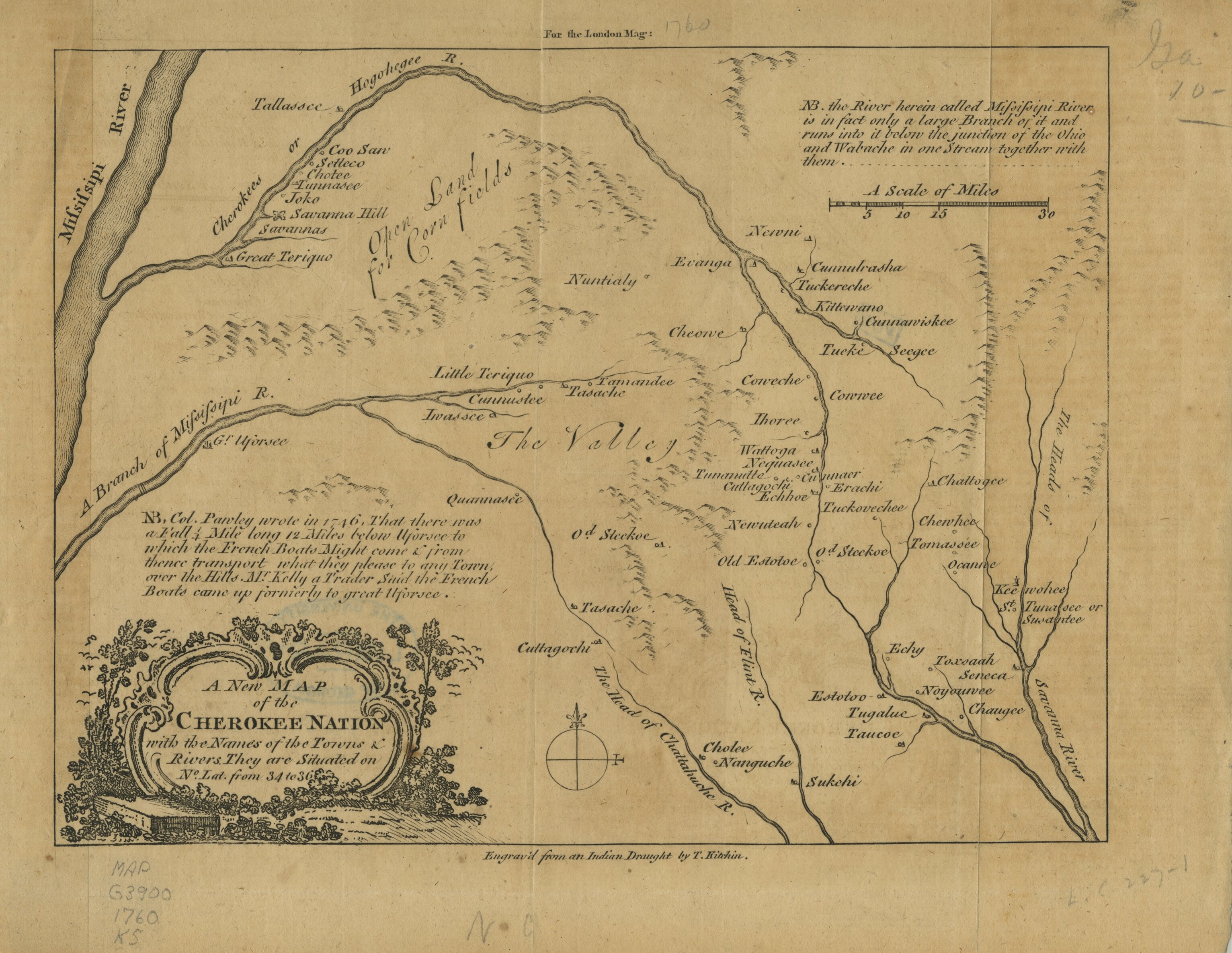
1889 · Federal survey / administration

Indian territory: compiled under the direction of the Hon. John H. Oberly, Commissioner of Indian Affairs, by C.A. Maxwell

View archive ↗

This Office of Indian Affairs map presents Indian Territory through federal administrative categories in 1889, with information about occupied lands, transfers and cessions. Its vocabulary belongs to that dated record. Examine federal mapping practices alongside the histories of the nations shown.

Map context, credits & related profiles

This Office of Indian Affairs map presents Indian Territory through federal administrative categories in 1889, with information about occupied lands, transfers and cessions. Its vocabulary belongs to that dated record. Examine federal mapping practices alongside the histories of the nations shown.

Collection: Library of Congress, Geography and Map Division.

Credit: Library of Congress, Geography and Map Division..

Rights: LOC permits reuse of its digitized Geography and Map collections unless an item advisory restricts it. Rights record ↗

Inspection: Read indexed LOC item, actual viewer metadata/download choices and LOC guide. Later requests returned 403. Reviewed 2026-10-21.

Individual profile connections are still being reviewed.
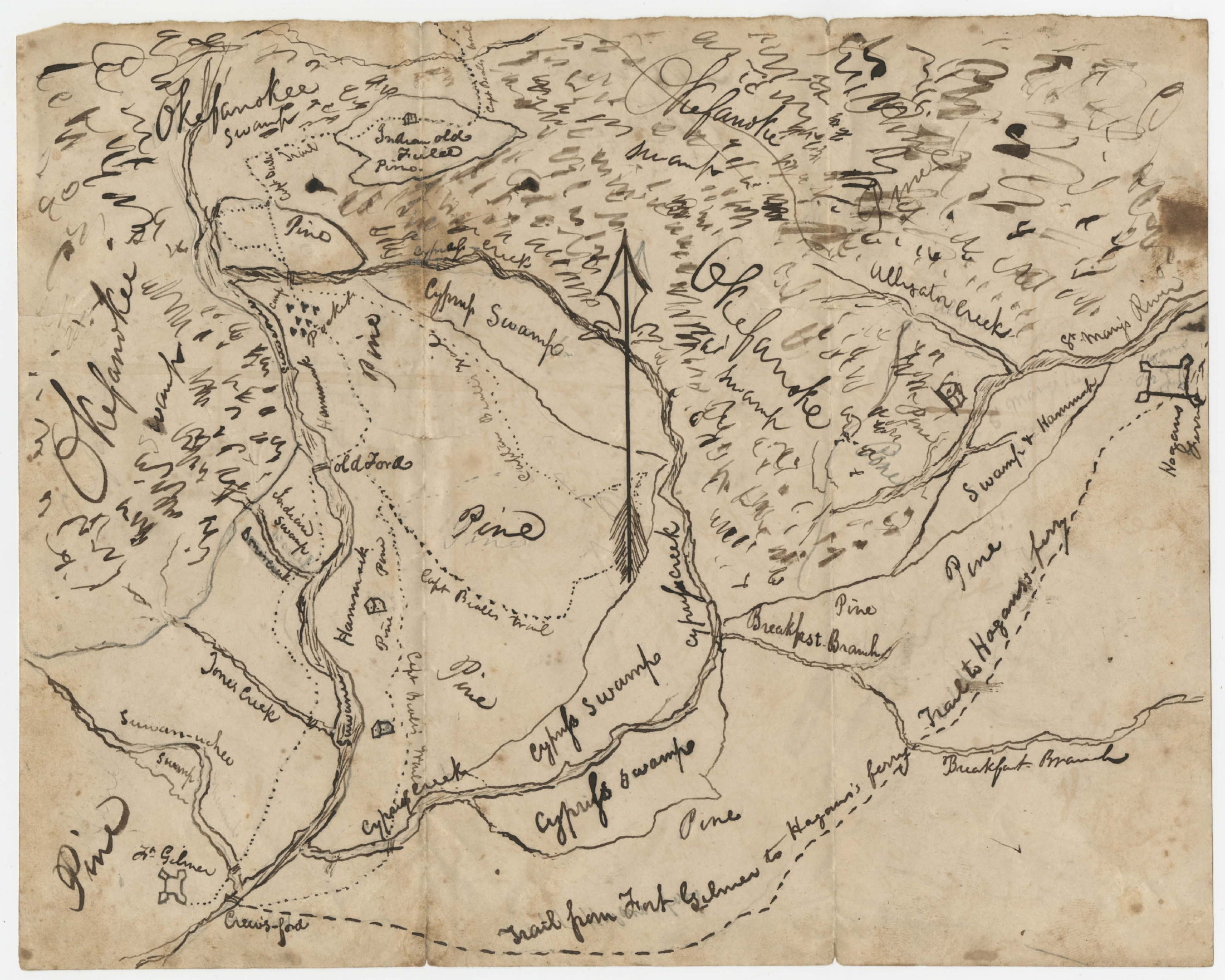
1900 · Federal survey / administration

Map of Choctaw Nation, Indian territory: compiled from official records of the United States Geological Survey

View archive ↗

McAlpine compiled this federal map from United States Geological Survey records. The catalog identifies approved coal leases and claims, while the LOC guide places it among Commission to the Five Civilized Tribes reports. Read its land-administration context without treating it as a present-day jurisdiction map.

Map context, credits & related profiles

McAlpine compiled this federal map from United States Geological Survey records. The catalog identifies approved coal leases and claims, while the LOC guide places it among Commission to the Five Civilized Tribes reports. Read its land-administration context without treating it as a present-day jurisdiction map.

Collection: Library of Congress, Geography and Map Division.

Credit: Library of Congress, Geography and Map Division..

Rights: LOC permits reuse of its digitized Geography and Map collections unless an item advisory restricts it. Rights record ↗

Inspection: Read full indexed LOC item and relevant LOC guide entry. Direct item/viewer requests returned 403. Reviewed 2026-10-21.

Related directory profiles

Choctaw ↗

The archive identifies Choctaw Nation as the subject and describes allotments, selections and coal leases. This provides historical administrative context, not present-day jurisdiction.

1900 · Named historical subject; federal land administration

Connection evidence: LOC guide: Map of Choctaw Nation, 1900 ↗

1851 · Historical map · metadata lead

[Map of the upper Great Plains and Rocky Mountains region]

View archive ↗

Catalogued as an 1851 manuscript showing territories of named Indigenous peoples across the upper Plains and Rockies. De Smet's classifications belong to this historical document. Use for comparison with community accounts, not present boundaries; image labels and detail remain uninspected.

Map context, credits & related profiles

Catalogued as an 1851 manuscript showing territories of named Indigenous peoples across the upper Plains and Rockies. De Smet's classifications belong to this historical document. Use for comparison with community accounts, not present boundaries; image labels and detail remain uninspected.

Collection: Library of Congress, Geography and Map Division.

Credit: Library of Congress, Geography and Map Division.

Rights: Item-specific reproduction terms have not been verified. Link to original archive only. Rights record ↗

Inspection: Indexed catalogue metadata only; direct record and image inspection remain pending. Catalogue date; not independently verified on the image Reviewed 2026-10-21.

Individual profile connections are still being reviewed.
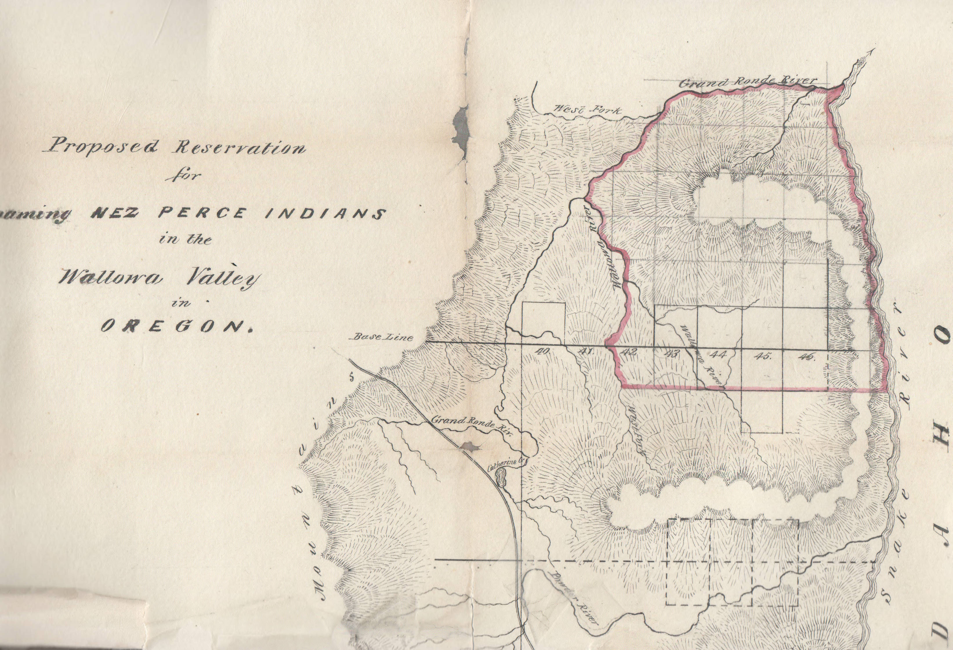
1814 · Historical map · metadata lead

A map of Lewis and Clark's track across the western portion of North America, from the Mississippi to the Pacific Ocean : by order of the executive of the United States in 1804, 5 & 6

View archive ↗

Published in London in 1814, this expedition map offers a historical route across the western interior toward the Pacific. It is a record of United States exploration and its cartographers' framing. Specific Idaho-area Indigenous labels and image quality require visual verification.

Map context, credits & related profiles

Published in London in 1814, this expedition map offers a historical route across the western interior toward the Pacific. It is a record of United States exploration and its cartographers' framing. Specific Idaho-area Indigenous labels and image quality require visual verification.

Collection: Library of Congress, Geography and Map Division.

Credit: Library of Congress, Geography and Map Division.

Rights: Item-specific reproduction terms have not been verified. Link to original archive only. Rights record ↗

Inspection: Indexed catalogue metadata only; direct record and image inspection remain pending. Catalogue publication: London, Longman, Hurst, Rees, Orme & Brown, 1814 Reviewed 2026-10-21.

Individual profile connections are still being reviewed.

[1890?] · Historical map · metadata lead

[Map of North America showing Indian tribes]

View archive ↗

An anonymously produced manuscript adds Indigenous labels to a printed North American base map. The archive dates it only approximately. Its continental scope may support Great Lakes comparisons, but attribution, individual labels and coloured areas need direct image review before detailed interpretation.

Map context, credits & related profiles

An anonymously produced manuscript adds Indigenous labels to a printed North American base map. The archive dates it only approximately. Its continental scope may support Great Lakes comparisons, but attribution, individual labels and coloured areas need direct image review before detailed interpretation.

Collection: Library of Congress, Geography and Map Division.

Credit: Library of Congress, Geography and Map Division.

Rights: Item-specific reproduction terms have not been verified. Link to original archive only. Rights record ↗

Inspection: Indexed catalogue metadata only; direct record and image inspection remain pending. Catalogue's uncertain date and possible United States production place preserved Reviewed 2026-10-21.

Individual profile connections are still being reviewed.

[1850] · Historical map · metadata lead

Map of a Reconnoissance between Fort Leavenworth on the Missouri River, and the Great Salt Lake in the Territory Of Utah, made in 1849 and 1850

View archive ↗

An Army reconnaissance map connects Fort Leavenworth with Great Salt Lake, showing tribal areas alongside routes, rivers and topography according to the catalogue. Read its geography within the expedition's perspective and period. Detailed Indigenous labels and boundaries remain visually unverified here.

Map context, credits & related profiles

An Army reconnaissance map connects Fort Leavenworth with Great Salt Lake, showing tribal areas alongside routes, rivers and topography according to the catalogue. Read its geography within the expedition's perspective and period. Detailed Indigenous labels and boundaries remain visually unverified here.

Collection: Library of Congress, Geography and Map Division.

Credit: Library of Congress, Geography and Map Division.

Rights: Item-specific reproduction terms have not been verified. Link to original archive only. Rights record ↗

Inspection: Indexed catalogue metadata only; direct record and image inspection remain pending. Catalogue supplied date based on latest survey date; bracketed publication date retained Reviewed 2026-10-21.

Individual profile connections are still being reviewed.

[1902] · Federal survey / administration

Creek & Seminole Nations, Indian Territory

View archive ↗

A federal survey-based map of the Creek and Seminole Nations in Indian Territory, dated [1902] by the archive. The Library of Congress guide identifies its historical subjects; the original image remains uninspected. Read its administrative viewpoint alongside community accounts.

Map context, credits & related profiles

A federal survey-based map of the Creek and Seminole Nations in Indian Territory, dated [1902] by the archive. The Library of Congress guide identifies its historical subjects; the original image remains uninspected. Read its administrative viewpoint alongside community accounts.

Collection: Library of Congress, Geography and Map Division.

Credit: Library of Congress, Geography and Map Division; compiled and drawn by C. H. Dana..

Rights: Item-specific reproduction terms have not been newly verified; archive link only, with no preview reproduced. Rights record ↗

Inspection: Read the actual Library of Congress guide caption and description for this map. The direct item request returned HTTP 403; the individual item record and map image were not inspected. Reviewed 2026-10-22.

Related directory profiles

Muscogee (Creek) ↗

The archive identifies the Creek and Seminole Nations as the map’s historical subjects. No current boundaries or particular modern government are inferred.

[1902] · Named historical subject in archival guide

Connection evidence: LOC guide: Creek and Seminole Nations, 1902 ↗

Seminole ↗

The archive identifies the Creek and Seminole Nations as the map’s historical subjects. No current boundaries or particular modern government are inferred.

[1902] · Named historical subject in archival guide

Connection evidence: LOC guide: Creek and Seminole Nations, 1902 ↗

1946 · Historical map with tribal co-authorship credited by the catalogue

Historical Map Grand Portage Indian Reservation

View archive ↗

A historical map catalogued under Ralph M. Shane and the Grand Portage Band. It offers a community-specific reading route for Grand Portage, Minnesota. The archive labels its region Wisconsin; community and NPS sources place this Grand Portage in Minnesota. The map image remains uninspected.

Map context, credits & related profiles

A historical map catalogued under Ralph M. Shane and the Grand Portage Band. It offers a community-specific reading route for Grand Portage, Minnesota. The archive labels its region Wisconsin; community and NPS sources place this Grand Portage in Minnesota. The map image remains uninspected.

Collection: David Rumsey Historical Map Collection.

Credit: Ralph M. Shane and Grand Portage Band of Chippewa Indians; W. A. Fisher Company, Virginia, Minnesota, 1946. David Rumsey Historical Map Collection, list 10847.000..

Rights: The catalogue records a 1946 copyright notice naming the Grand Portage Band of Chippewa Indians. Item-specific image reproduction permission has not been established; archive link only. Rights record ↗

Dating & copying: Publication year and authorship are catalogue evidence. No independent image transcription or copy-date verification is claimed.

Inspection: Read the actual catalogue fields and the Grand Portage Band and NPS community pages. The exact linked archive preview returned HTTP 404. Its generic descriptive summary is not treated as verified image content. Wisconsin catalogue geography conflicts with the community-specific Minnesota evidence; that discrepancy is disclosed. Reviewed 2026-10-22.

Related directory profiles

Ojibwe ↗

The catalogue credits the Grand Portage Band as co-author. Community and NPS sources identify Grand Portage with Ojibwe / Anishinaabe history in Minnesota. This is one community example within the broader directory entry; the map image remains uninspected.

1946 publication; Grand Portage community · Community-specific historical map; catalogue-based connection

Connection evidence: Rumsey catalogue: authors, date and copyright note ↗ · Grand Portage Band: community and lands ↗ · Grand Portage: Ojibwe / Anishinaabe community context ↗

Anishinaabe ↗

The catalogue credits the Grand Portage Band as co-author. Community and NPS sources identify Grand Portage with Ojibwe / Anishinaabe history in Minnesota. This is one community example within the broader directory entry; the map image remains uninspected.

1946 publication; Grand Portage community · Community-specific historical map; catalogue-based connection

Connection evidence: Rumsey catalogue: authors, date and copyright note ↗ · Grand Portage Band: community and lands ↗ · Grand Portage: Ojibwe / Anishinaabe community context ↗

1898 map; 1899 catalogue creation date · Historical ethnographic cartography

The Kiowa Range Showing the Location of the Plains Tribes in 1832 with their Kiowa Names and the Principal Military and Trading Posts

View archive ↗

The archive describes a historical depiction of Plains peoples, Kiowa names, and military and trading posts. It places the represented Kiowa range between the Arkansas and Brazos rivers. The catalogue credits Mooney; use of Kiowa names does not establish Indigenous authorship. Map image uninspected; no present boundaries inferred.

Map context, credits & related profiles

The archive describes a historical depiction of Plains peoples, Kiowa names, and military and trading posts. It places the represented Kiowa range between the Arkansas and Brazos rivers. The catalogue credits Mooney; use of Kiowa names does not establish Indigenous authorship. Map image uninspected; no present boundaries inferred.

Collection: University of Oklahoma College of Law Digital Commons, American Indian and Alaskan Native Documents Maps and Illustrations.

Credit: OU College of Law Digital Commons; Johnson's bibliographic reference 1899-96..

Rights: No item-specific rights statement was present in the catalogue text inspected. Reproduction permission has not been established; archive link only. Rights record ↗

Dating & copying: The item lists Creation Date 1899; its description dates Mooney's map to 1898. The title refers to the represented year 1832.

Inspection: Read actual item catalogue Title, Creator, Johnson's Bibliographic Reference, Source Document Title, Creation Date, and Description. Creator field is empty. No image or linked source document inspected. Reviewed 2026-10-27.

Individual profile connections are still being reviewed.

1895 · Federal reservation administration

Map Showing Indian Reservations within the Limits of the United States, 1895

View archive ↗

A reservation map catalogued with the Commissioner's 1895 report. The archive identifies federal supervision of compilation and provides contextual discussion of coercion, cession, and removal. Its administrative viewpoint concerns the historical reservation system. The map image remains uninspected; no present boundaries or community identities are inferred.

Map context, credits & related profiles

A reservation map catalogued with the Commissioner's 1895 report. The archive identifies federal supervision of compilation and provides contextual discussion of coercion, cession, and removal. Its administrative viewpoint concerns the historical reservation system. The map image remains uninspected; no present boundaries or community identities are inferred.

Collection: University of Oklahoma College of Law Digital Commons, American Indian and Alaskan Native Documents Maps and Illustrations.

Credit: OU College of Law Digital Commons; Johnson's bibliographic reference 1895-127..

Rights: No item-specific rights statement was present in the catalogue text inspected. Reproduction permission has not been established; archive link only. Rights record ↗

Inspection: Read actual item catalogue Title, Creator, Johnson's Bibliographic Reference, Source Document Title, Creation Date, and Description. Creator field is empty. No image or linked source document inspected. Reviewed 2026-10-27.

Individual profile connections are still being reviewed.

A growing map room

This selection brings archive records together. Some have a reusable preview; others open at the holding institution. Reviewed connections lead to individual directory profiles, where the same maps appear with an explanation of their relevance. Unlinked records remain under review.

Follow the originals

Original titles can contain outdated language. Archive descriptions and our inspection notes explain what was checked. A linked record is not a completed nation-level research review.

Download the map catalogue · About this collection